Climate Action: Explainer: how the SeaRise data affects Nelson City Council projects
01/06/2022 3:50am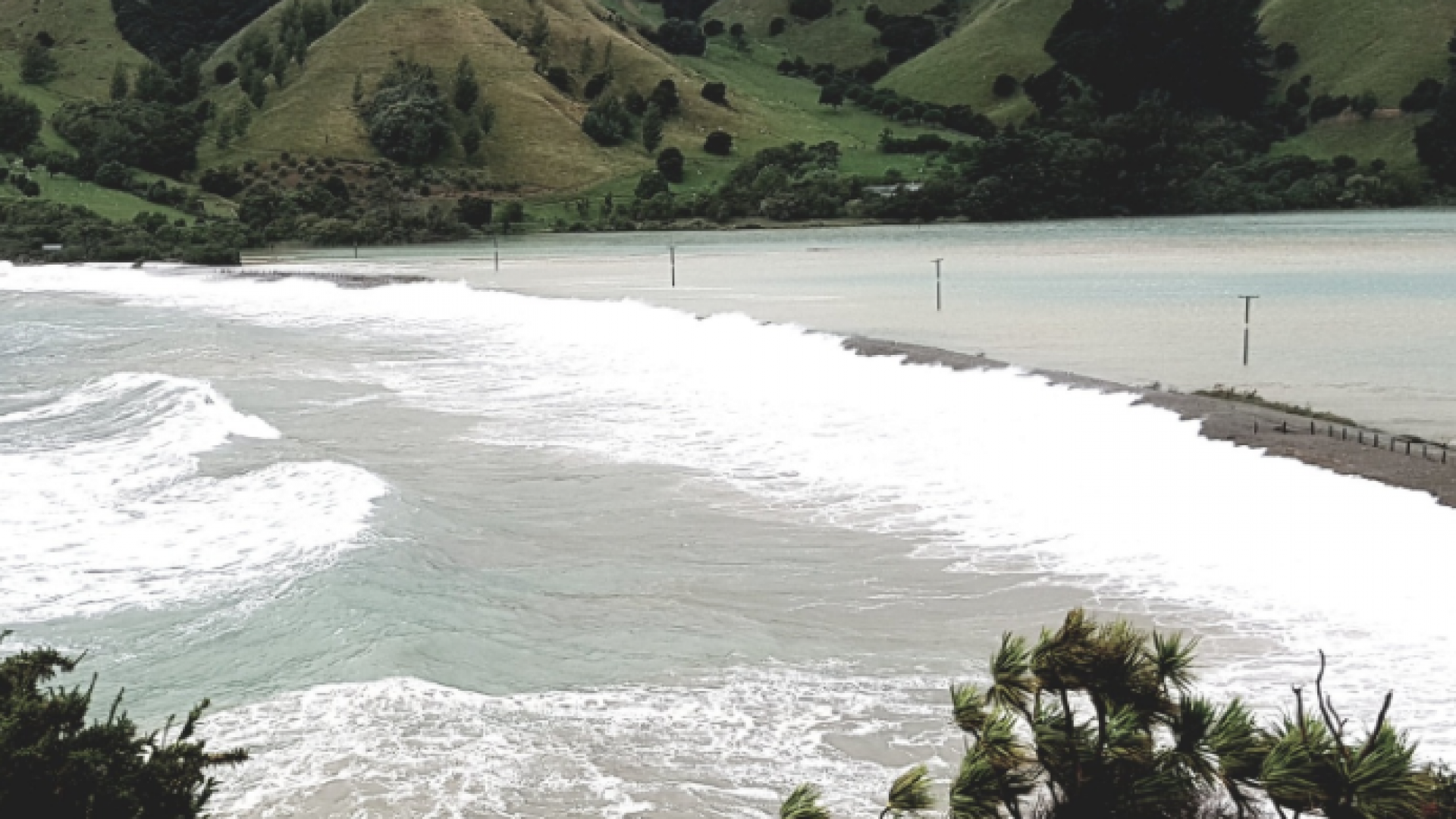
As part of our series on climate change, we provide some insight into the new NZ SeaRise data and how it affects current and future projects, and adaptation planning.
NZ SeaRise has released location-specific sea-level rise projections out to the year 2300 for every 2km of the coast of Aotearoa New Zealand.
Maps have been created for the public and planning professionals, showing the impact of sea-level rise across the country.
More information and maps are available at: searise.nz. Please note, this website was targeted by a cyber attack known as a Denial of Service, which led to difficulties in accessing maps.
What makes the SeaRise data stand out?
Climate change and warming temperatures are currently causing global sea-level rise. We have known about this for some time, although the rate of sea-level rise is reported to be increasing.
However, local sea-level rise around the coast of Aotearoa is also affected by up and down movements of our land. These can occasionally occur due to earthquakes, but also smaller shifts over time that are less noticeable. For Nelson, this new information takes into account the rate of land subsidence – essentially, how much the land is sinking.
The scientists who worked on the SeaRise projects have connected this vertical land movement data with climate driven sea-level rise to provide locally relevant sea-level projections. In the area where the land is going down (subsiding) the annual rate of relative sea-level rise is projected to increase.
The SeaRise data also takes into account updated sea-level rise projections from the recent International Panel on Climate Change (IPCC) sixth assessment.
Is Council's flood modelling now out of date?
We are working on reviewing our models to see how this new data on subsidence and updated sea-level rise data may affect results. Council staff are looking at how the new information affects our adaptation response planning.
So, what does that mean for Nelson?
The SeaRise data shows that the urban area of Nelson is subsiding by an average of around 2mm per year.
Taking into account the data on vertical land movement as well as the latest IPCC projections on sea-level rise, urban areas of Nelson are predicted to face between 0.4 and 0.7 metres of relative sea-level rise in the next 50 years.
This represents an increase of 0.1m to 0.2m over previous Ministry for the Environment projections. A range is given (rather than a specific number) as the rate of sea-level rise we will experience depends on how successful we are globally in reducing greenhouse gas emissions and how polar ice caps respond.
Over a longer 100-year timeframe, the more conservative projection used for planning purposes has increased by 0.3m to 0.5m to now sit at approximately 1.4 to 2.0 metres of sea-level rise.
What sort of climate change scenario are these numbers based on?
These numbers used for planning purposes are based on two climate change scenarios known as RCP 8.5 (M) and RCP 8.5 (H+). RCP stands for Representative Concentration Pathway, which refers to the concentration of carbon that delivers global warming at an average of 8.5 watts per square metre across the planet.
Put simply, it is a potential scenario based on how successful we all are at reducing greenhouse gas emissions.
There is some debate about whether RCP 8.5 is likely to occur, with many scientists stating that it would be in line with our current use of fossil fuels such as coal-fired power. If emissions are reduced, we could avoid the RCP 8.5 scenario.
How many houses could be affected?
Our existing modelling shows that approximately 4,170 properties are potentially at risk from 1.5 metres of sea-level rise that was originally not expected until after 2150. These properties could now potentially be affected approximately twenty years earlier due to the updated information about land subsidence.
Will you be taking this data into account?
Yes. Council staff make recommendations to elected members using the best data available at the time. The SeaRise data is the latest available information and is important; we intend to apply it to Council projects.
We are still working out what this will mean for some of Council’s projects, but it will require Council to report back to elected members on the data’s impact on projects like the new library.
Council is also considering how the data may affect requirements for ground and floor levels for subdivision and building. It is expected that Council will need to work with the Tasman District Council to update the Inundation Practice Note (IPN).
The IPN explains how Council determines minimum ground and/or floor levels for subdivisions, new buildings, and major alterations in areas identified as being subject to seawater and/or freshwater inundation within the Nelson and Tasman districts.
What does this mean for the new library?
The proposed adaptable design for the library, including the ability to raise the floor level in the future, is intended to protect the building from the storm surge and river flooding we would experience at 2m of sea-level rise.
The new sea-level rise data means that under the most conservative RCP 8.5H+ sea-level rise projection, the building would be flood resilient up to at least the year 2130 as long as the floor level is raised as planned. For the RCP 8.5 (M) scenario, the building would be flood resilient beyond 2150.
Council staff are now looking more closely at how all this impacts the library project and will report back to elected members and the community.
What is insurance retreat and how does it affect things?
Insurance retreat is the idea that as New Zealand experiences sea-level rise, insurance companies will either increase the cost of property insurance in vulnerable areas, provide only partial insurance, or not provide it at all.
The Insurance Council has indicated that mitigation of the impacts of climate change, such as adaptation and resilient design, will extend the life of insurance cover.
Insurance retreat is a real possibility, with some estimates suggesting it will start in the next decade for some coastal areas, moving from higher prices, to partial withdrawal, to full withdrawal of insurance.
The insurance industry has not taken a firm line on insurance retreat, and there is also the possibility that central government might intervene in the market as they do with earthquake insurance.
This makes planning decisions based on insurance retreat complicated, which is one of the reasons that, as well as working to reduce its carbon emissions, Council is working on adaption planning that will allow us to make climate-based decisions at the right time with strong community involvement.
Why not just move everything back from the coast?
Moving assets away from our waterfront may have negative impacts on our city centre, residential areas, and the riverside precinct that decision-makers need to fully understand.
This is not a decision that we should rush. We require more information and consultation with our community before we know what retreat might look like in practice and whether it’s the right decision for Nelson.
Our modelling shows there is more than $5 billion of property that could be affected by sea-level rise over the next 100 years. The owners of these properties deserve to have a say.
Coastal and riverside areas of our City are culturally and economically important to Nelsonians, so it is vital that any decisions we do make about retreat are well-considered, based on strong data, not rushed and supported by most people in our community.
In June, Council will start having conversations with our community about how climate change will impact our coast and potential adaptation responses as part of our adaptation planning.
More on our upcoming adaptation plan
Council will be talking to the community in June and July about how sea-level rise will affect our coast and what this means for our community and our economy. This will help us to identify the important things to achieve through our climate change response, such as ensuring access to the beach for walking and ensuring new houses are built on safe ground.
Council will then develop detailed options and assess the associated costs before holding further conversations with the community to decide on our adaptation plan.
The plan will need to be agile and dynamic so that we can take into account the latest science and data as it comes to light. The plan will take a few years to develop, but it is important that we take the time to get it right.
It’s also important that our community is on board, as an effective climate change response requires unified action. Council’s role at the moment is to ask the community its view and then work to build consensus around the best possible course of action for Nelson.
Does Council have a plan to reduce emissions as well as adaptation?
Climate change considerations are built into all Council strategies, playing a significant role in the creation of planning documents, including but not limited to Te Ara ō Whakatū – The City Centre Spatial Plan, the Draft Parking Strategy, the Draft Future Development Strategy, the Infrastructure Strategy, and the 2021-31 Long Term Plan.
In November 2021, elected members approved Council’s Climate Action Plan, which sets out our commitments to address climate change over the next decade. To read the plan in full, visit nelson.govt.nz and search 'climate action plan' or Google 'Nelson Climate Action Plan'.
Council has completed the verification of its fourth operational carbon footprint inventory for the financial year 2020/21. The results of this inventory (shown below) have been published on the Council website and show a gradual decrease in Nelson City Council’s operational emissions.
Note: The graph below represents the greenhouse gas emissions estimated for each financial year since 2017/18. In accordance with ISO 14064-1 directions, the baseline for 2017/18 was recalculated to take account of methodology and emission factors changes. However, the 2018/19 and 2019/20 inventories were calculated using different baseline methodologies. Therefore, comparisons between the base year and 2020/21 accurately show the actual emissions reductions, but comparisons with 2018/19 and 2019/20 should be treated with caution.
Changes to national policy
Current national policies and legislation do not provide sufficient direction and tools for local government action to prepare for climate impacts. Over the next one to three years, our legislative landscape is likely to change significantly.
Government is currently consulting on the draft National Adaptation Plan and seeking feedback on how we address the most significant risks identified in the National Climate Change Risk Assessment.
Preparing for climate change is not just the responsibility of local government – central government, business, iwi and communities all have a significant role to play. The draft National Adaptation Plan emphasises that the risks and costs of climate impacts will need to be shared between asset and property owners, insurance companies, banks, local government and central government.
Resource management reform is also underway – this will provide local government with much-needed tools and direction for dealing with issues such as ‘Who pays?’ and options for moving people from coastal areas to higher ground.
These national-level changes will support and enable Council to prepare for the impacts of climate change.


