Weather related track closures – an update
18/10/2022 12:39pm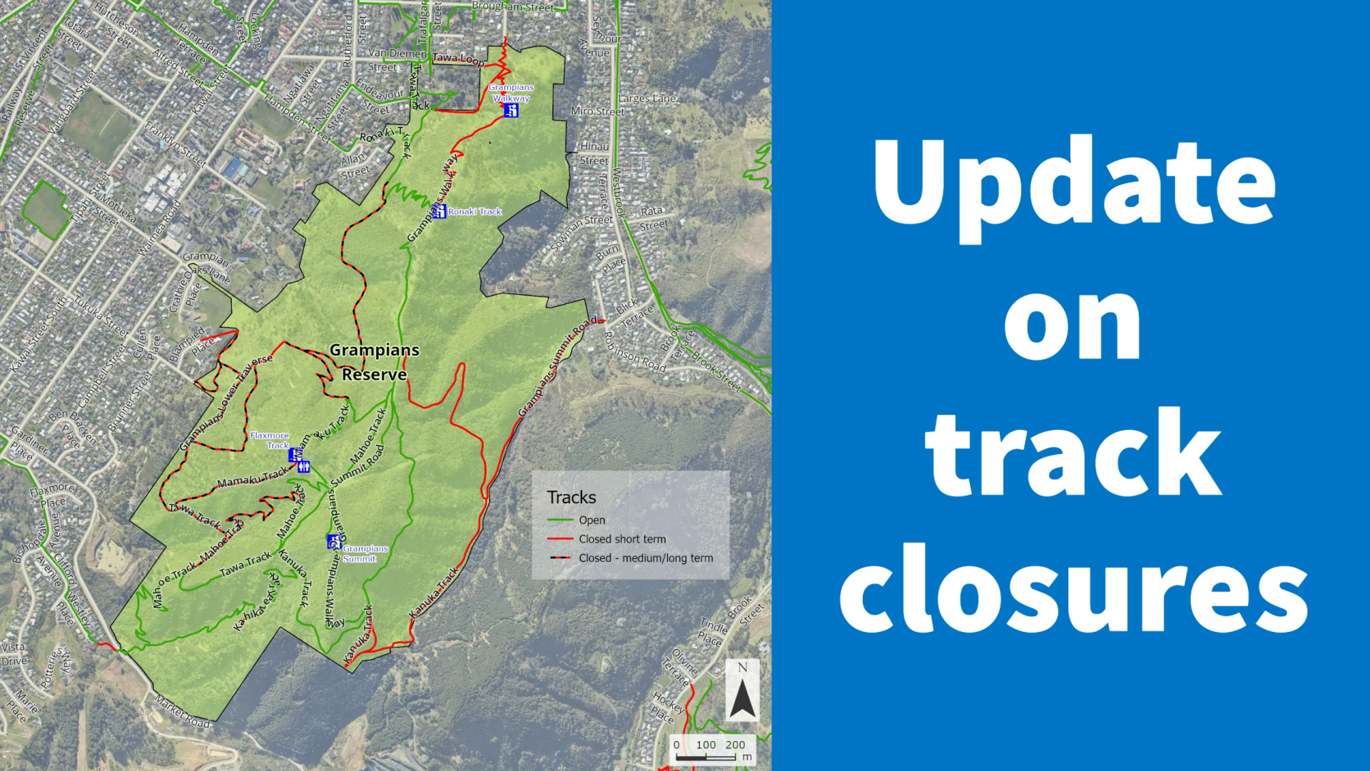
Council staff and contractors have been working hard to restore access to tracks across Nelson following the weather event in August.
The scale of the work is substantial, with many large landslides occurring in hard to reach places, and fixing them is not a simple job.
To help people understand which tracks are open and give an idea of how long it will take for tracks to open, Council has produced maps of all our major reserves (see below). The maps show which tracks are open, will open in the short term, or are closed for the medium-long term.
Tracks that are opening in the short term should be open in the next four weeks if we get good weather. Medium and long-term closures vary, but most will be open by the end of 2022. Some of the more complex landslides will be fixed about a year from now.
Each track has its own story when it comes to repair. For instance, Piwakawaka Track in the Marsden Valley has a damaged bridge that will require fixing. Other tracks have been cut into a very steep bank, and slips have cut away large sections of track. Some smaller slips are stuck behind larger slips and can’t be fixed until the larger slip has been removed.
With particularly large slips, Council may need to construct new bridges over them as there is too much material to move from a remote area.
To see all the maps, visit shape.nelson.govt.nz/weather-event-track-closures. Visit our website for the latest track openings.
Maps will be updated when tracks are opened.


